Maps for the Web
Subdivision & Land Development Plans Review App

An interactive web map that allows querying subdivision/land development plans reviewed by the Cumberland County Planning office. Built with Leaflet.js, Esri web services, and Bootstrap.
Yellow Breeches Water Trail Story Map
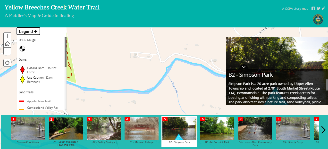
An Esri Classic Story Map Tour app that has been enhanced using custom JavaScript. Enhancements include a toggable map legend and adding alt text attributes to all images.
Imagery Comparison Map
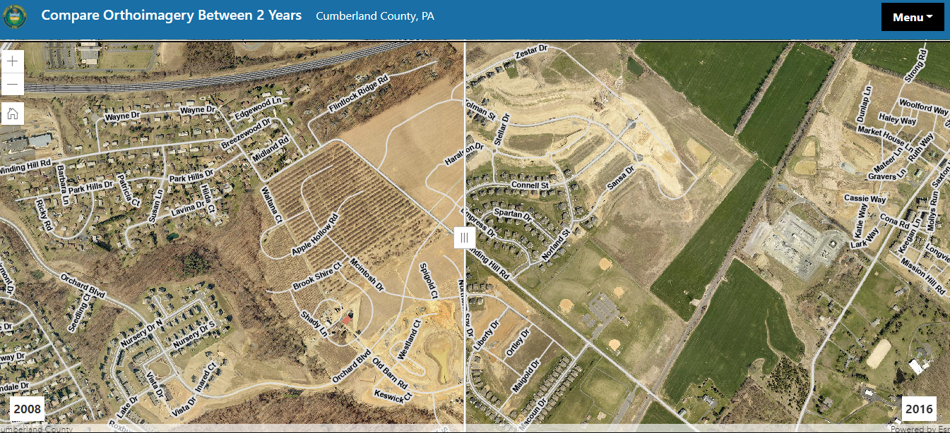
Using the Esri JavaScript API's Swipe Widget, users can compare two years of orthoimagery.