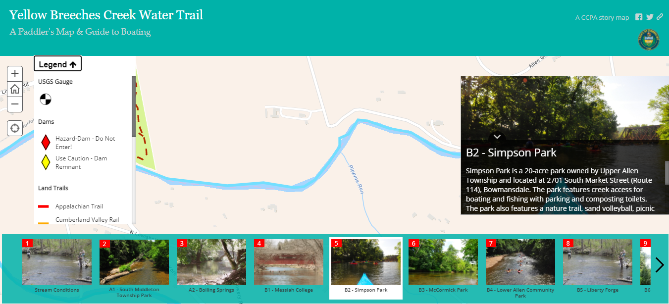
Yellow Breeches Creek Water Trail Story Map
This web map app was developed as an online supplement to the printed water trail guide for the Yellow Breeches Creek. During the summer, many people swim, fish, and paddle along this popular spot.
This map is built using the Esri Story Map Tour template (now considered a "Classic Story Map"). Custom CSS rules were applied to give the site a branding similar to the Cumberland County tourism agency.
This app features many JavaScript enhancements. Using the Esri JavaScript API, a toggable map legend has been added to the app. The code for this is available on a GitHub repository.
One issue I have with the Esri COTS solutions built on the 3.x version of the JavaScript API is that they do not deal with the alt attribute for images. I added a custom solution to add this attribute to the images that load on the story map. Below, are links to sample code snippets:
