Maps for the Web
Subdivision & Land Development Plans Review App

An interactive web map that allows querying subdivision/land development plans reviewed by the Cumberland County Planning office. Built with Leaflet.js, Esri web services, and Bootstrap.
Yellow Breeches Water Trail Story Map
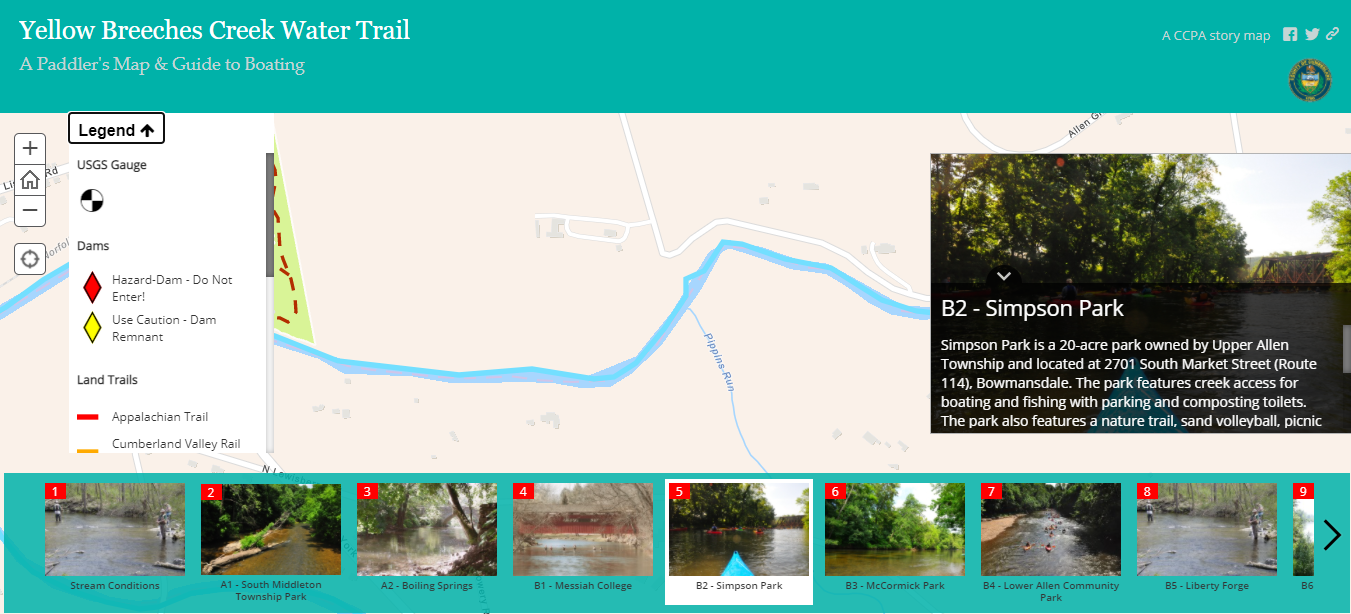
An Esri Classic Story Map Tour app that has been enhanced using custom JavaScript. Enhancements include a toggable map legend and adding alt text attributes to all images.
Imagery Comparison Map
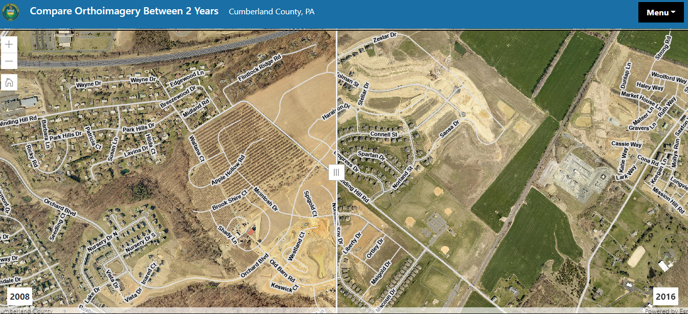
Using the Esri JavaScript API's Swipe Widget, users can compare two years of orthoimagery.
Python Scripting
Automating Data Updates at Cumberland County
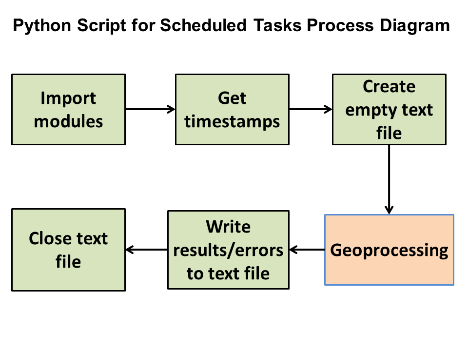
Various python scripts have been developed using the Esri ArcPy Python library to automate data update processes using Windows Scheduled Tasks.
SARA Report Tool

The SARA Report Tool is a custom ArcGIS tool developed to assist Cumberland County Public Safety with the reporting for hazardous chemical facilties.
SCTF Regional Updates

Various python scripts have been developed to help automate the regional GIS data update process for the South Central PA Task Force.
Maps for Print
Camp Swatara Hiking Trails Map
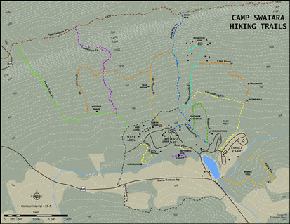
Camp Swatara is a family and summer camp located in southeastern Pennsylvania. The focus of this project was redesigning the hiking trails map with more accurate mapping of the trails.
Lancaster County Heritage Byway Map Atlas
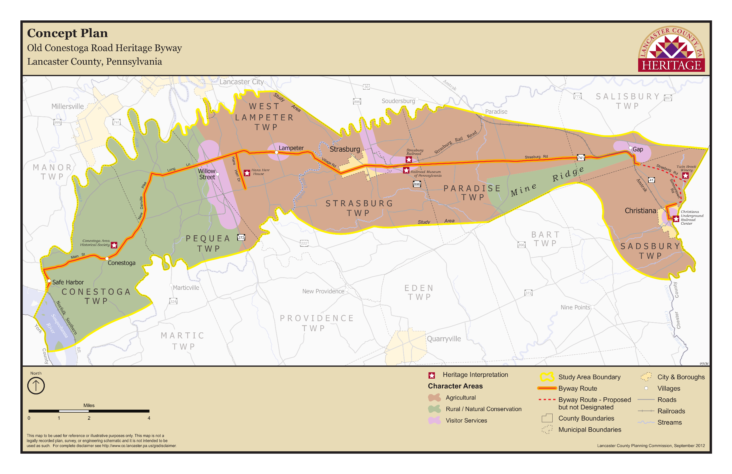
This project involved developing a standard layout and design for a series of maps telling the story of Heritage Byways in Lancaster County.
South Middleton Township Official Map
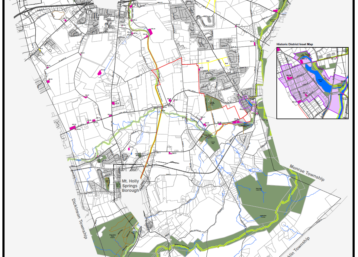
This update to the existing Official Map included designing a visual hierarchy among thematic and reference layers, and developing a balanced system of labels for features.
Web Development
Keystone GIS

I led a team in rebuilding the organization's website on the Drupal CMS platform. Later, I led switching to the Wild Apricot platform. I continue to serve on the Technology Committee.