South Middleton Township Official Map
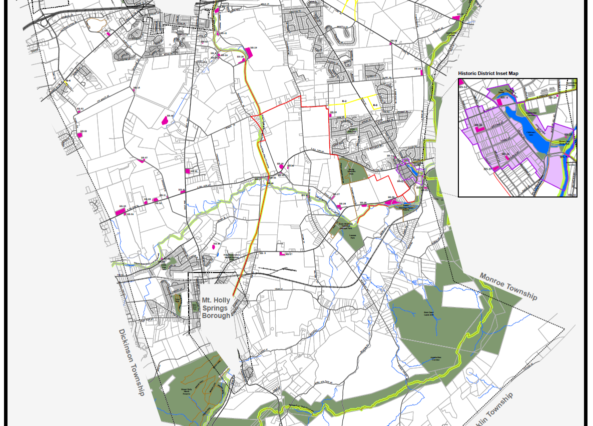
Providing assistance to municipalities is one of my responsibilities in my current role with Cumberland County GIS. An interesting cartographic project was updating the Official Map for South Middleton Township. In Pennsylvania, an official map is a land use ordinance that allows counties and municipalities identify land of interest for public purposes.
The challenges for this map were designing a visual hierarchy among thematic and reference layers, as well as developing a balanced system of labels for features. Graytone colors were used for reference features such as roads and tax parcels, while more pronounced colors were used for features such as proposed roads and proposed recreation trails. The finished map will help guide the future development of South Middleton Township, considering the natural, cultural, and transportation needs of this community.