
I am a cartographer and developer interested in telling the stories of communities through maps and technology.
Featured Articles
How to Add A Legend to the Esri Story Map Tour App
July 23, 2020
Using the Esri ArcGIS Javascript API, you can customize the Classic Story Map applications. In this article, I'll walk you through adding a legend to the Map Tour app.

Converting Parcels to Address Points With a Python Script
August 2, 2017
To get around a software license issue with the Esri Feature to Point tool, I developed a Python script that loops through a polygon feature class, and creates a point feature class using the centroid coordinates.

Reflections on Building Web Maps With Esri JS API From a Leaflet.js Fanboy
April 2, 2020
I started creating web map apps with Leaflet.js. Last year, I finally learned the ArcGIS JavaScript API. I wanted to share a few reflections on working with both platforms. I believe both have a place for developers.
Featured Projects
Subdivision & Land Development Plans Review App

An interactive web map that allows querying subdivision/land development plans reviewed by the Cumberland County Planning office. Built with Leaflet.js, Esri web services, and Bootstrap.
Learn MoreSARA Report Tool

The SARA Report Tool is a custom ArcGIS tool developed to assist Cumberland County Public Safety with the reporting for hazardous chemical facilties.
Learn MoreSouth Middleton Township Official Map
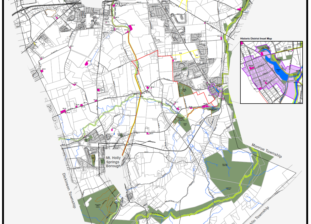
This update to the existing Official Map included designing a visual hierarchy among thematic and reference layers, and developing a balanced system of labels for features.
Learn More